Geolocate

Ghadames topographic map

Click on the map to display elevation.

About this map

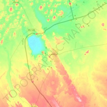
Name: Ghadames topographic map, elevation, terrain.

Location: Ghadames, Nalut, Libya (29.96584 9.33007 30.28584 9.65007)

Average elevation: 1,086 ft

Minimum elevation: 902 ft

Maximum elevation: 1,339 ft

Gear up for your next adventure:

🍳Camping Cook Set - Complete cookware for outdoor meals
👓Polarized Sunglasses - Outdoor sunglasses for glare reduction
🧣Merino Neck Gaiters - Multi-functional headwear for wind and sun protection
🔦LED Headlamp - Bright and durable LED headlamp for night navigation
🛠️Outdoor Gear Repair Kit - Essential tools to fix gear on the trail

As an Amazon Associate, this site earns from qualifying purchases at no extra cost to you.