
Cedar Bay topographic map
Interactive map
Click on the map to display elevation.
About this map
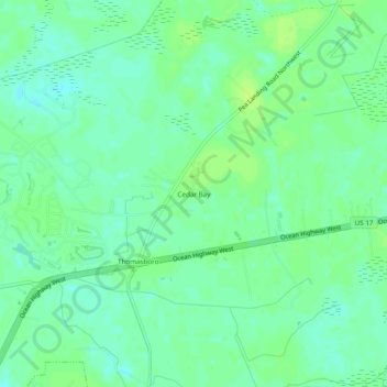
Name: Cedar Bay topographic map, elevation, terrain.
Location: Cedar Bay, Brunswick County, North Carolina, 28467, USA (33.92573 -78.56834 33.96573 -78.52834)
Average elevation: 33 ft
Minimum elevation: 10 ft
Maximum elevation: 49 ft