
Qaryat Salah al Din topographic map
Interactive map
Click on the map to display elevation.
About this map
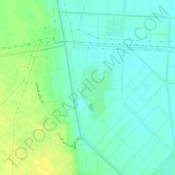
Name: Qaryat Salah al Din topographic map, elevation, terrain.
Location: Qaryat Salah al Din, Beheira Governorate, Egypt (30.57306 30.69944 30.61306 30.73944)
Average elevation: 49 ft
Minimum elevation: 23 ft
Maximum elevation: 89 ft