
El Anegado topographic map
Interactive map
Click on the map to display elevation.
About this map
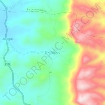
Name: El Anegado topographic map, elevation, terrain.
Location: El Anegado, Parroquia El Anegado, Jipijapa, Manabí, Ecuador (-1.49142 -80.55474 -1.45142 -80.51474)
Average elevation: 1,549 ft
Minimum elevation: 1,050 ft
Maximum elevation: 2,405 ft
Other topographic maps
Click on a map to view its topography, its elevation and its terrain.