
Mount Harris topographic map
Interactive map
Click on the map to display elevation.
About this map
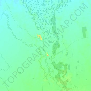
Name: Mount Harris topographic map, elevation, terrain.
Average elevation: 561 ft
Minimum elevation: 518 ft
Maximum elevation: 850 ft
Other topographic maps
Click on a map to view its topography, its elevation and its terrain.
Pine Clump
Australia > New South Wales > Warren Shire Council
Pine Clump, Warren Shire Council, New South Wales, 2824, Australia
Average elevation: 689 ft
Bogan
Australia > New South Wales > Warren Shire Council > Bogan
Bogan, Warren Shire Council, New South Wales, 2826, Australia
Average elevation: 646 ft