
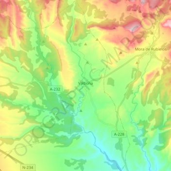
Valbona topographic map
Interactive map
Click on the map to display elevation.
About this map
Name: Valbona topographic map, elevation, terrain.
Location: Valbona, Gúdar-Javalambre, Teruel, Aragona, 44430, Spagna (40.16882 -0.85584 40.28464 -0.77181)
Average elevation: 3,304 ft
Minimum elevation: 2,815 ft
Maximum elevation: 4,137 ft