
Quintas topographic map
Interactive map
Click on the map to display elevation.
About this map
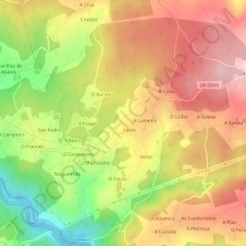
Name: Quintas topographic map, elevation, terrain.
Location: Quintas, Paderne, Betanços, Corunha, Galiza, 15314, Espanha (43.27370 -8.17961 43.30534 -8.15030)
Average elevation: 597 ft
Minimum elevation: 16 ft
Maximum elevation: 1,063 ft