
Si Youcef topographic map
Interactive map
Click on the map to display elevation.
About this map
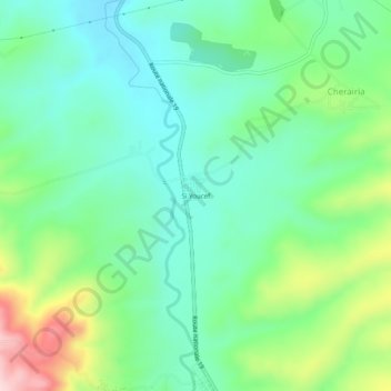
Name: Si Youcef topographic map, elevation, terrain.
Location: Si Youcef, Sendjas, Daïra Chlef, Chlef, 02025, Algérie (36.07206 1.37054 36.11206 1.41054)
Average elevation: 896 ft
Minimum elevation: 623 ft
Maximum elevation: 1,545 ft