
Gervilliers topographic map
Interactive map
Click on the map to display elevation.
About this map
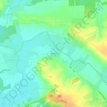
Name: Gervilliers topographic map, elevation, terrain.
Average elevation: 427 ft
Minimum elevation: 377 ft
Maximum elevation: 515 ft
Other topographic maps
Click on a map to view its topography, its elevation and its terrain.
Longeville-sur-la-Laines
France > Grand Est > Haute-Marne > Rives Dervoises
Longeville-sur-la-Laines, Rives Dervoises, Saint-Dizier, Haute-Marne, Grand Est, France métropolitaine, 52220, France
Average elevation: 417 ft