
El Obrador topographic map
Interactive map
Click on the map to display elevation.
About this map
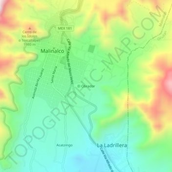
Name: El Obrador topographic map, elevation, terrain.
Location: El Obrador, Malinalco, México (18.92189 -99.50900 18.96189 -99.46900)
Average elevation: 5,807 ft
Minimum elevation: 5,095 ft
Maximum elevation: 7,106 ft