
Asundi topographic map
Interactive map
Click on the map to display elevation.
About this map
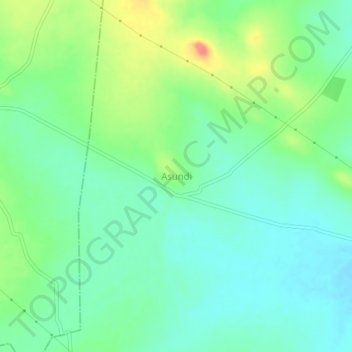
Name: Asundi topographic map, elevation, terrain.
Location: Asundi, Ranebennuru taluk, Haveri district, Karnataka, India (14.61607 75.52463 14.65607 75.56463)
Average elevation: 1,978 ft
Minimum elevation: 1,909 ft
Maximum elevation: 2,126 ft