
Ober-Beberich topographic map
Interactive map
Click on the map to display elevation.
About this map
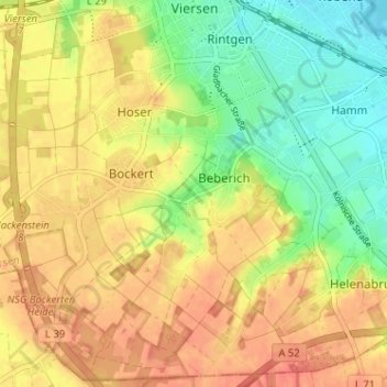
Name: Ober-Beberich topographic map, elevation, terrain.
Average elevation: 203 ft
Minimum elevation: 121 ft
Maximum elevation: 262 ft
Other topographic maps
Click on a map to view its topography, its elevation and its terrain.
Unter-Beberich
Duitsland > Noordrijn-Westfalen > Kreis Viersen > Viersen > Hamm
Unter-Beberich, Hamm, Viersen, Kreis Viersen, Noordrijn-Westfalen, 41748, Duitsland
Average elevation: 180 ft