
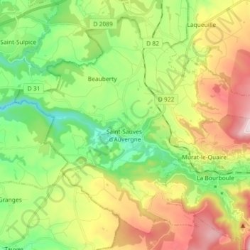
Saint-Sauves-d'Auvergne topographic map
Interactive map
Click on the map to display elevation.
About this map
Name: Saint-Sauves-d'Auvergne topographic map, elevation, terrain.
Average elevation: 3,159 ft
Minimum elevation: 2,352 ft
Maximum elevation: 4,432 ft