
Bandujo topographic map
Interactive map
Click on the map to display elevation.
About this map
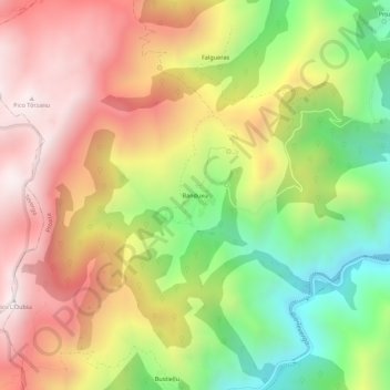
Name: Bandujo topographic map, elevation, terrain.
Location: Bandujo, Proaza, Asturias, 33114, España (43.20091 -6.09202 43.24091 -6.05202)
Average elevation: 2,720 ft
Minimum elevation: 869 ft
Maximum elevation: 4,442 ft
Other topographic maps
Click on a map to view its topography, its elevation and its terrain.