
Yangibozor topographic map
Interactive map
Click on the map to display elevation.
About this map
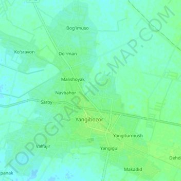
Name: Yangibozor topographic map, elevation, terrain.
Location: Yangibozor, Vobkent Tumani, Provinz Buchara, Usbekistan (40.01504 64.35297 40.07321 64.41902)
Average elevation: 758 ft
Minimum elevation: 745 ft
Maximum elevation: 771 ft