
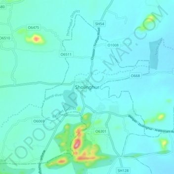
Sholinghur topographic map
Interactive map
Click on the map to display elevation.
About this map
Name: Sholinghur topographic map, elevation, terrain.
Average elevation: 528 ft
Minimum elevation: 436 ft
Maximum elevation: 1,312 ft
Other topographic maps
Click on a map to view its topography, its elevation and its terrain.
Ranipet
India > Tamil Nadu > Wallajah > Ranipet
Ranipet, Wallajah, Ranipet District, Tamil Nadu, 632401, India
Average elevation: 558 ft
Karai
India > Tamil Nadu > Wallajah
Karai, Wallajah, Ranipet District, Tamil Nadu, 632404, India
Average elevation: 584 ft
Nellikuppam
India > Tamil Nadu > Wallajah
Nellikuppam, Wallajah, Ranipet District, Tamil Nadu, 632515, India
Average elevation: 682 ft
Chennasamudram
India > Tamil Nadu > Wallajah
Chennasamudram, Wallajah, Ranipet District, Tamil Nadu, 632513, India
Average elevation: 499 ft
Wallajah
India > Tamil Nadu > Wallajah
Wallajah, Ranipet District, Tamil Nadu, India
Average elevation: 587 ft