
Gibson Island topographic map
Interactive map
Click on the map to display elevation.
About this map
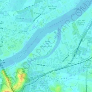
Name: Gibson Island topographic map, elevation, terrain.
Location: Gibson Island, QLD, 4008, Australië (-27.45657 153.10300 -27.41657 153.14300)
Average elevation: 16 ft
Minimum elevation: -7 ft
Maximum elevation: 95 ft