
Fylde topographic map
Interactive map
Click on the map to display elevation.
About this map
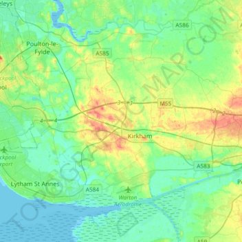
Name: Fylde topographic map, elevation, terrain.
Location: Fylde, Lancashire, North West England, England, United Kingdom (53.72173 -3.07489 53.86483 -2.78050)
Average elevation: 43 ft
Minimum elevation: -3 ft
Maximum elevation: 144 ft