
Vaux-sur-Sûre topographic map
Interactive map
Click on the map to display elevation.
About this map
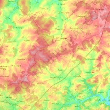
Name: Vaux-sur-Sûre topographic map, elevation, terrain.
Location: Vaux-sur-Sûre, Bastenaken, Luxemburg, Wallonië, België (49.86703 5.49556 50.01263 5.71317)
Average elevation: 1,572 ft
Minimum elevation: 1,253 ft
Maximum elevation: 1,844 ft