
Uribe topographic map
Interactive map
Click on the map to display elevation.
About this map
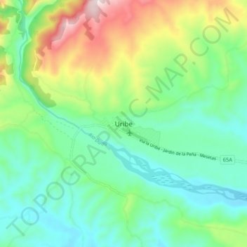
Name: Uribe topographic map, elevation, terrain.
Location: Uribe, La Uribe, Meta, Colombia (3.20133 -74.39107 3.28133 -74.31107)
Average elevation: 2,425 ft
Minimum elevation: 1,841 ft
Maximum elevation: 3,799 ft