
Sande topographic map
Interactive map
Click on the map to display elevation.
About this map
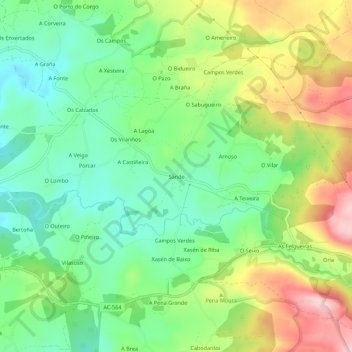
Name: Sande topographic map, elevation, terrain.
Location: Sande, A Capela, Eume, La Coruña, Galicia, 15613, España (43.42725 -8.05188 43.46725 -8.01188)
Average elevation: 1,362 ft
Minimum elevation: 1,056 ft
Maximum elevation: 1,854 ft