
万盛街道 topographic map
Interactive map
Click on the map to display elevation.
About this map
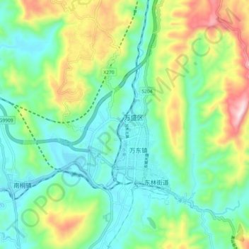
Name: 万盛街道 topographic map, elevation, terrain.
Location: 万盛街道, 万盛经济开发区, 綦江区, 重庆市, 中国 (28.92533 106.88152 29.00533 106.96152)
Average elevation: 1,509 ft
Minimum elevation: 935 ft
Maximum elevation: 2,848 ft