
Quercus robur topographic map
Interactive map
Click on the map to display elevation.
About this map
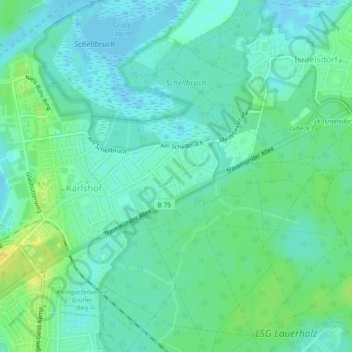
Name: Quercus robur topographic map, elevation, terrain.
Average elevation: 26 ft
Minimum elevation: -10 ft
Maximum elevation: 79 ft
Other topographic maps
Click on a map to view its topography, its elevation and its terrain.
Lübeck
Allemagne > Schleswig-Holstein > Lübeck
Lübeck, Schleswig-Holstein, 23552, Allemagne
Average elevation: 95 ft