
Altstadt topographic map
Interactive map
Click on the map to display elevation.
About this map
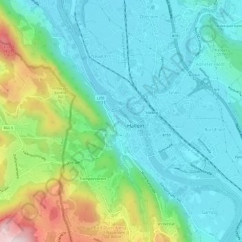
Name: Altstadt topographic map, elevation, terrain.
Location: Altstadt, Hallein, Salzburg, 5400.0, Austria (47.66293 13.07207 47.70293 13.11207)
Average elevation: 1,870 ft
Minimum elevation: 1,407 ft
Maximum elevation: 3,264 ft