
Chanduy topographic map
Interactive map
Click on the map to display elevation.
About this map
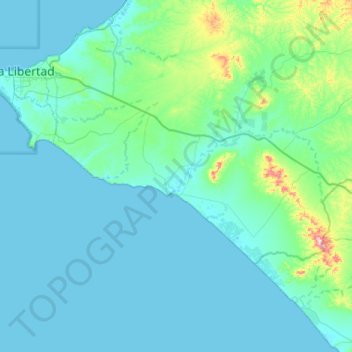
Name: Chanduy topographic map, elevation, terrain.
Location: Chanduy, Santa Elena, Ecuador (-2.50754 -80.78837 -2.24614 -80.26622)
Average elevation: 125 ft
Minimum elevation: -7 ft
Maximum elevation: 1,329 ft