Geolocate

Pantok topographic map

Click on the map to display elevation.

About this map

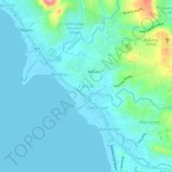
Name: Pantok topographic map, elevation, terrain.

Location: Pantok, Binangonan, Rizal, Calabarzon, 1903, Philippines (14.47522 121.16137 14.51522 121.20137)

Average elevation: 92 ft

Minimum elevation: 0 ft

Maximum elevation: 610 ft

Gear up for your next adventure:

🔋Rechargeable Batteries - Power up your outdoor devices
🔊Portable Camp Speaker - Music and alerts at camp
🔋Solar Power Banks - Keep your GPS and phone charged in remote wilderness areas
🥾Women's Hiking Boots - Top-rated trail boots with ankle support and superior grip
🦟Ultrasonic Repellers - Create a bug-free zone at your camp or rest stop

As an Amazon Associate, this site earns from qualifying purchases at no extra cost to you.