
Winenne topographic map
Interactive map
Click on the map to display elevation.
About this map
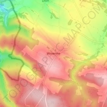
Name: Winenne topographic map, elevation, terrain.
Location: Winenne, Beauraing, Dinant, Namen, Wallonië, 5570, België (50.07802 4.87310 50.11802 4.91310)
Average elevation: 860 ft
Minimum elevation: 427 ft
Maximum elevation: 1,142 ft