
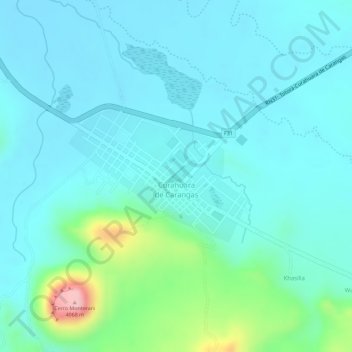
Curahuara de Carangas topographic map
Interactive map
Click on the map to display elevation.
About this map
Name: Curahuara de Carangas topographic map, elevation, terrain.
Location: Curahuara de Carangas, Provincia Sajama, Oruro, Bolivia (-17.84680 -68.41765 -17.83662 -68.40316)
Average elevation: 12,851 ft
Minimum elevation: 12,736 ft
Maximum elevation: 13,356 ft