
Ettimadai topographic map
Interactive map
Click on the map to display elevation.
About this map
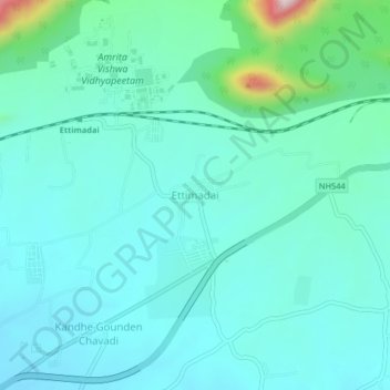
Name: Ettimadai topographic map, elevation, terrain.
Average elevation: 1,033 ft
Minimum elevation: 817 ft
Maximum elevation: 2,142 ft
Other topographic maps
Click on a map to view its topography, its elevation and its terrain.
Malumichampatti
India > Tamil Nadu > Coimbatore South
Malumichampatti, Coimbatore South, Coimbatore District, Tamil Nadu, 641050, India
Average elevation: 1,211 ft
Perur
India > Tamil Nadu > Coimbatore South > Perur
Perur, Coimbatore South, Coimbatore District, Tamil Nadu, 641010, India
Average elevation: 1,398 ft