
尚甬 topographic map
Interactive map
Click on the map to display elevation.
About this map
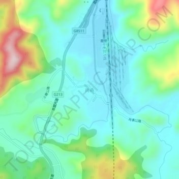
Name: 尚甬 topographic map, elevation, terrain.
Location: 尚甬, 磨憨镇, 勐腊县, 西双版纳傣族自治州, 云南省, 666100, 中国 (21.22181 101.69404 21.26181 101.73404)
Average elevation: 2,707 ft
Minimum elevation: 2,411 ft
Maximum elevation: 3,593 ft