
Moore Township topographic map
Interactive map
Click on the map to display elevation.
About this map
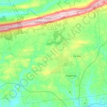
Name: Moore Township topographic map, elevation, terrain.
Location: Moore Township, Northampton County, Pennsylvania, USA (40.73119 -75.49686 40.83680 -75.34767)
Average elevation: 778 ft
Minimum elevation: 400 ft
Maximum elevation: 1,598 ft