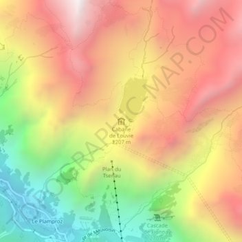
Cabane de Louvie topographic map
Interactive map
Click on the map to display elevation.
About this map
Name: Cabane de Louvie topographic map, elevation, terrain.
Average elevation: 7,146 ft
Minimum elevation: 4,400 ft
Maximum elevation: 9,478 ft

Click on the map to display elevation.
Name: Cabane de Louvie topographic map, elevation, terrain.
Average elevation: 7,146 ft
Minimum elevation: 4,400 ft
Maximum elevation: 9,478 ft