
上林公园 topographic map
Interactive map
Click on the map to display elevation.
About this map
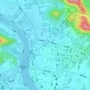
Name: 上林公园 topographic map, elevation, terrain.
Location: 上林公园, 教师村, 黄冈镇, 饶平县, 潮州市, 广东省, 中国 (23.68369 116.99528 23.68559 116.99883)
Average elevation: 72 ft
Minimum elevation: 0 ft
Maximum elevation: 482 ft
Other topographic maps
Click on a map to view its topography, its elevation and its terrain.