
El Derramadero topographic map
Interactive map
Click on the map to display elevation.
About this map
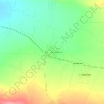
Name: El Derramadero topographic map, elevation, terrain.
Location: El Derramadero, Saltillo, Coahuila, México (25.26977 -101.30310 25.30977 -101.26310)
Average elevation: 5,807 ft
Minimum elevation: 5,659 ft
Maximum elevation: 6,020 ft
Other topographic maps
Click on a map to view its topography, its elevation and its terrain.