
Santo Tomas topographic map
Interactive map
Click on the map to display elevation.
About this map
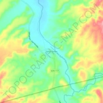
Name: Santo Tomas topographic map, elevation, terrain.
Location: Santo Tomas, Sahuaripa, Sonora, México (28.95440 -109.21810 28.99440 -109.17810)
Average elevation: 1,640 ft
Minimum elevation: 1,476 ft
Maximum elevation: 1,877 ft