
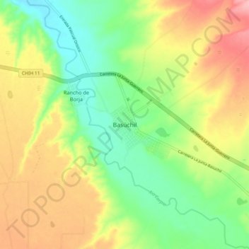
Basúchil topographic map
Interactive map
Click on the map to display elevation.
About this map
Name: Basúchil topographic map, elevation, terrain.
Location: Basúchil, Guerrero, Chihuahua, México (28.48259 -107.44199 28.56259 -107.36199)
Average elevation: 6,762 ft
Minimum elevation: 6,578 ft
Maximum elevation: 6,991 ft
Other topographic maps
Click on a map to view its topography, its elevation and its terrain.