
东限 topographic map
Interactive map
Click on the map to display elevation.
About this map
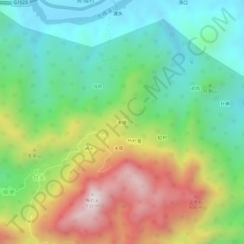
Name: 东限 topographic map, elevation, terrain.
Location: 东限, 永泰县, 福州市, 福建省, 中国 (25.82918 119.02872 25.86918 119.06872)
Average elevation: 1,135 ft
Minimum elevation: 26 ft
Maximum elevation: 2,999 ft
Other topographic maps
Click on a map to view its topography, its elevation and its terrain.