
Laguna El Cacique Cácota topographic map
Interactive map
Click on the map to display elevation.
About this map
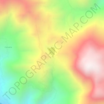
Name: Laguna El Cacique Cácota topographic map, elevation, terrain.
Average elevation: 9,354 ft
Minimum elevation: 7,858 ft
Maximum elevation: 10,673 ft