
Parc National de Theniet El Had topographic map
Interactive map
Click on the map to display elevation.
About this map
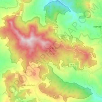
Name: Parc National de Theniet El Had topographic map, elevation, terrain.
Average elevation: 4,242 ft
Minimum elevation: 2,887 ft
Maximum elevation: 5,837 ft