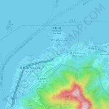
Wu Kai Sha Village topographic map
Interactive map
Click on the map to display elevation.
About this map
Name: Wu Kai Sha Village topographic map, elevation, terrain.
Average elevation: 236 ft
Minimum elevation: -23 ft
Maximum elevation: 2,159 ft

Click on the map to display elevation.
Name: Wu Kai Sha Village topographic map, elevation, terrain.
Average elevation: 236 ft
Minimum elevation: -23 ft
Maximum elevation: 2,159 ft