
Loiz topographic map
Interactive map
Click on the map to display elevation.
About this map
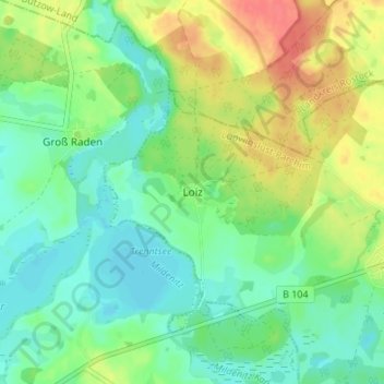
Name: Loiz topographic map, elevation, terrain.
Average elevation: 79 ft
Minimum elevation: 13 ft
Maximum elevation: 194 ft
Other topographic maps
Click on a map to view its topography, its elevation and its terrain.
Luckwitz
Deutschland > Mecklenburg-Vorpommern > Ludwigslust-Parchim > Wittendörp
Luckwitz, Wittendörp, Wittenburg, Ludwigslust-Parchim, Mecklenburg-Vorpommern, Deutschland
Average elevation: 144 ft