
Twin Lakes topographic map
Interactive map
Click on the map to display elevation.
About this map
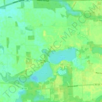
Name: Twin Lakes topographic map, elevation, terrain.
Location: Twin Lakes, LaGrange County, Indiana, United States (41.71338 -85.48248 41.75338 -85.44248)
Average elevation: 860 ft
Minimum elevation: 830 ft
Maximum elevation: 886 ft