
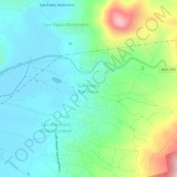
San Pedro Del Rosal topographic map
Interactive map
Click on the map to display elevation.
About this map
Name: San Pedro Del Rosal topographic map, elevation, terrain.
Location: San Pedro Del Rosal, Atlacomulco, 50485, México (19.75923 -99.83207 19.79923 -99.79207)
Average elevation: 8,599 ft
Minimum elevation: 8,264 ft
Maximum elevation: 9,541 ft