
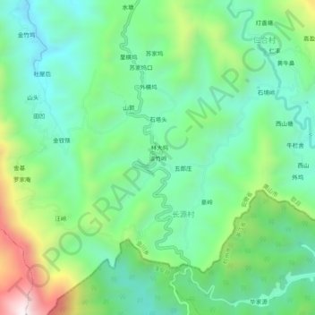
淡竹岭 topographic map
Interactive map
Click on the map to display elevation.
About this map
Name: 淡竹岭 topographic map, elevation, terrain.
Location: 淡竹岭, 金川乡, 歙县, 黄山市, 安徽省, 中国 (29.93453 118.83230 29.97453 118.87230)
Average elevation: 2,178 ft
Minimum elevation: 1,355 ft
Maximum elevation: 4,114 ft