
Betunes topographic map
Interactive map
Click on the map to display elevation.
About this map
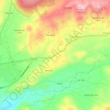
Name: Betunes topographic map, elevation, terrain.
Location: Betunes, Loulé, Faro, Algarve, 8100-266, Portugal (37.11974 -8.00649 37.15974 -7.96649)
Average elevation: 758 ft
Minimum elevation: 384 ft
Maximum elevation: 1,181 ft