
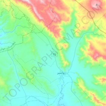
Badr topographic map
Interactive map
Click on the map to display elevation.
About this map
Name: Badr topographic map, elevation, terrain.
Location: Badr, بخش مرکزی, Ravansar County, Kermanshah Province, Iran (34.65164 46.53493 34.85703 46.77189)
Average elevation: 5,351 ft
Minimum elevation: 4,318 ft
Maximum elevation: 8,675 ft