
Le Grand Couloir topographic map
Interactive map
Click on the map to display elevation.
About this map
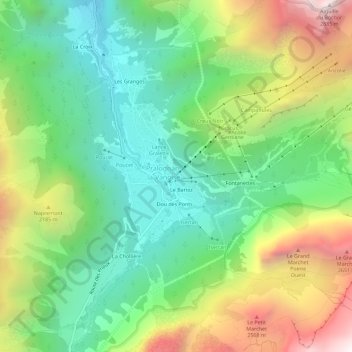
Name: Le Grand Couloir topographic map, elevation, terrain.
Average elevation: 6,155 ft
Minimum elevation: 4,249 ft
Maximum elevation: 9,455 ft
Other topographic maps
Click on a map to view its topography, its elevation and its terrain.
Dou des Ponts
France > Auvergne-Rhône-Alpes > Savoy > Pralognan-la-Vanoise
Dou des Ponts, Pralognan-la-Vanoise, Albertville, Savoy, Auvergne-Rhône-Alpes, Metropolitan France, 73710, France
Average elevation: 6,243 ft