Geolocate

Jiading District topographic map

Click on the map to display elevation.

About this map

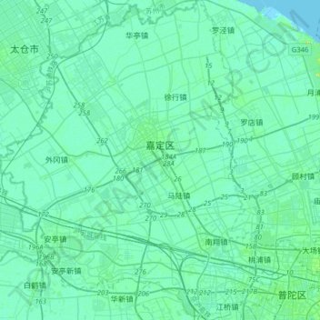
Name: Jiading District topographic map, elevation, terrain.

Location: Jiading District, Shanghai, China (31.22900 121.10193 31.49905 121.37632)

Average elevation: 13 ft

Minimum elevation: -3 ft

Maximum elevation: 82 ft

Gear up for your next adventure:

🌧️Backpack Rain Cover - Keep gear dry in wet weather
🏔️Mountain Trail Maps - High‑detail maps for popular peaks
🎒Trail Energy Bars - High‑calorie bars for hiking energy
🎒Trekking Poles - Sturdy poles for balance and stability on rough terrain
Backpacking Tents - Weight-optimized shelters for multi-day topographic surveys

As an Amazon Associate, this site earns from qualifying purchases at no extra cost to you.