
营尾下村 topographic map
Interactive map
Click on the map to display elevation.
About this map
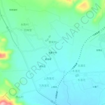
Name: 营尾下村 topographic map, elevation, terrain.
Location: 营尾下村, 营尾村, 巍山彝族回族自治县, 大理白族自治州, 云南省, 中国 (25.41860 100.16945 25.45860 100.20945)
Average elevation: 5,843 ft
Minimum elevation: 5,735 ft
Maximum elevation: 6,306 ft