
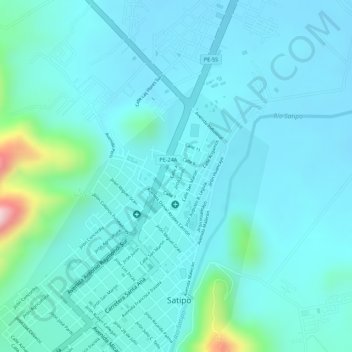
Plaza de Armas Santa Leonor topographic map
Interactive map
Click on the map to display elevation.
About this map
Name: Plaza de Armas Santa Leonor topographic map, elevation, terrain.
Location: Plaza de Armas Santa Leonor, Satipo, Junín, Perú (-11.24679 -74.63590 -11.24595 -74.63518)
Average elevation: 2,090 ft
Minimum elevation: 1,952 ft
Maximum elevation: 2,861 ft